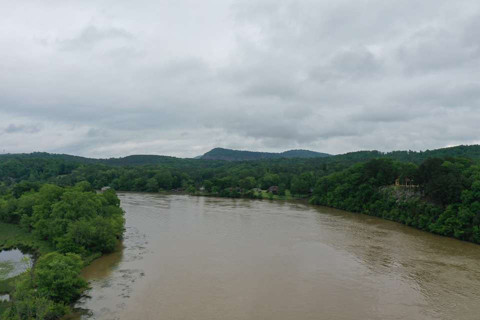

A most unique feature of Neely Henry Lake is an area known as Minnesota Bend. Like the name implies, it’s a sharp bend as shown in this aerial photo that I took on Wednesday.
On the left shoreline is a very shallow flat that extends about 2/3 across the waterway. The Coosa River channel hugs the bluff, where the water is over 70 feet deep. The phenomenon occurs during current flows like we have today, when the swift and high water gets backed up in the narrower channel above the bend in the background of the photo.
What’s crazy is the water level can be 3 or so feet higher above the bend, and 4 or more feet lower in the foreground of the photo. Such is the case today, and the difference in depth variations will certainly come into play today.