What is it?
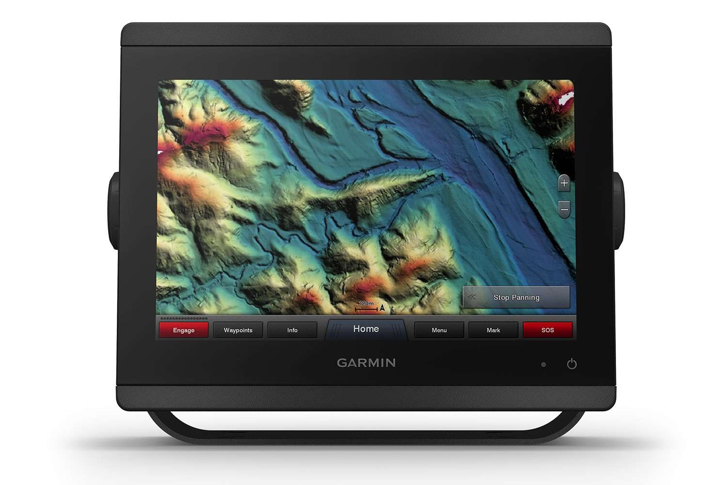
Garmin High Resolution Relief Shading
What sets it apart?
Garmin recently introduced a new element in the hunt for fish and fishy habitat — high-resolution relief shading. Available with the BlueChart g3 Vision and LakeVü g3 Ultra cartography products, high-resolution relief shading introduces a new level of detail to lake bottoms and thereby helps the angler locate key details of ledges, rock piles, ditches, drains, etc. Combining color and shadow, this new technology provides an easy-to-interpret, clearer view of bottom structure than contour lines alone.
How do I use it?
Available via accessory cards and downloads, Garmin’s high-resolution relief shading is available with coverage for U.S. coastal waters, along with more than 150 Garmin-surveyed lakes. This new technology is a good fit for Garmin’s g3 cartography products, whose data offers seamless chart presentation with up to 1-foot fishing contours providing a more accurate representation of bottom structure, which optimizes fishing charts.
How much?
$199.99 to $349.99
More Information:
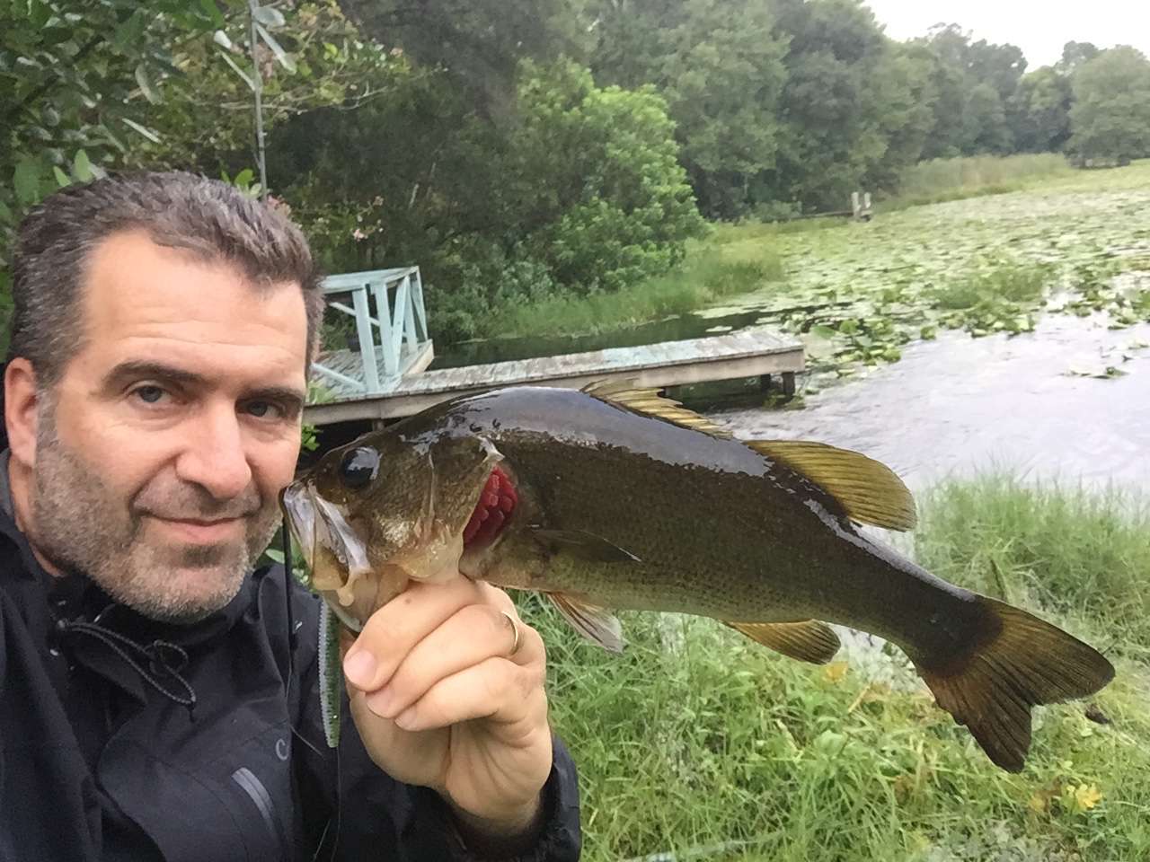
Angler’s insight:
Imagine draining a lake and actually looking at the bottom. Rather than the more general representation of contour lines — certainly important, as well — Garmin’s relief shading is kind of like pulling back the covers on a loosely made bed to see the pillows and pajamas that were, moments before, just humps and ridges. Pros I’ve spoken to refer to this new technology as a valued time saver — a quicker path to the sweet spots by showing subtleties that define fish travel lanes and feeding stations.