I am one of the most skeptical people on earth. I try to shoot holes in anything new that comes out, or anything someone recommends.
That’s just how I’m wired. I never accept anything as worthy until it passes the Zona test.
I also hate cellphones. I’ve dropped four in various lakes over the years and just laughed about it. They’re necessary in my business world, but I still hate ‘em.
But I have a confession. My skepticism for some phone features and my disdain for cellphones in general were alleviated last week when both paid off as I shot a Zona’s Awesome Fishing Show on Lake Michigan.
Actually, it started last summer when I downloaded the free Humminbird Fish Smart App on my phone. Well, I didn’t download it; I had my kids do it because I didn’t know how. It’s available for IOS or Android phones through their respective app stores.
Basically, it gives you a free satellite image of a body of water you choose from a state listing and allows you to purchase a contour map that you can download and save to your phone.
I started goofing around with it while sitting around home and figured I’d try to do some homework on a lake with it before I got on the water. Since I’m kind of a nut-bag about satellite images and lake maps, I became instantly intrigued.
So, when I planned this show in an area of Lake Michigan that I had never fished or had any information, I began looking at satellite images that come with the app and purchased the contour map related to that area.
I had a pretty good idea that there would be a lot of smallmouth cruising the reed beds on the biggest flats I could find. Remember, the weather has northern fish behind and Lake Michigan is still cold and it’s a reliable early seasonal pattern.
So I spotted the reed beds on the satellite image then compared that area to the contour map. I marked waypoints on about two dozen potential-looking areas on the biggest flats I could find.
And I did all of this before I left home.
Keep in mind this is an expansive area and you can go miles between reed beds. The satellite image revealed the darker bottom reed beds, but they weren’t visible above the surface because the water is higher than normal.
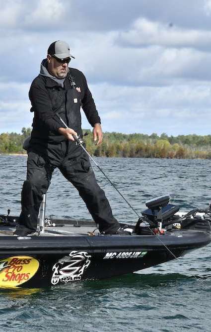
When I got to an area, I had my camera man Wes Miller idle me through the shallow water from waypoint to waypoint that I had marked on my phone from my living room the week before. The app displayed my boat’s location, and I could tell when we neared my target area.
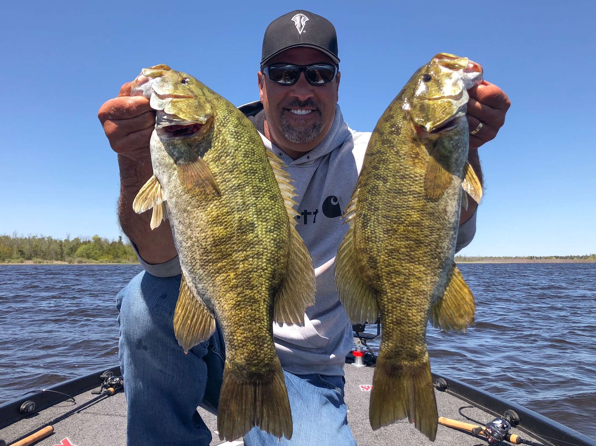
And sure enough, when we approached each reed bed, I began to see big smallies darting away from the boat.
I had one of the best smallmouth fishing experiences ever on the Great Lakes. You will see that show later this winter.
The app was flawless. Without it, I would have been forced to fish through miles of fish-less water, so this saved us a ton of valuable time.
It was staggering.
In fact, Wes told me he wouldn’t have believed it if he hadn’t see it himself. He said it was like I had fished there for decades and knew where everything was.
I will use this app for the rest of my life and even on lakes where I have fished. As long as I know the seasonal pattern, I will be able to sit in my living room and lay a game plan before I get to the lake.
And I’ll do it on a cellphone that I totally despise.